 |
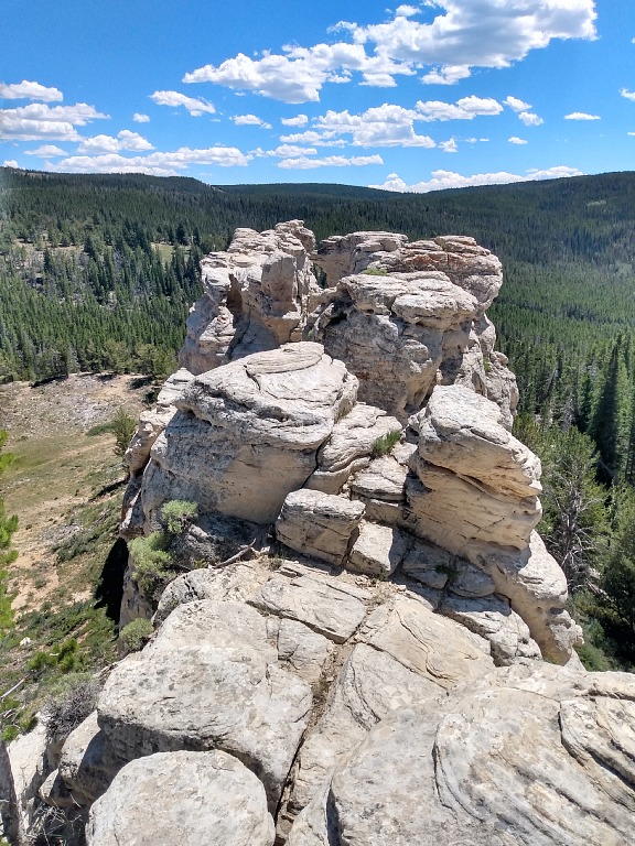
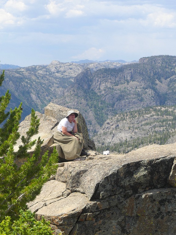
| On the very top of a natural white wall. |
July 11, 2026: Cheyenne • White Rock Canyon • Rock Springs
We took it easy on our first vacation day. Having packed in the morning (which
was not quite simple; after all we were taking off for a week in unknown parts)
and then began to bite off miles on westbound I-80. To make it more interesting,
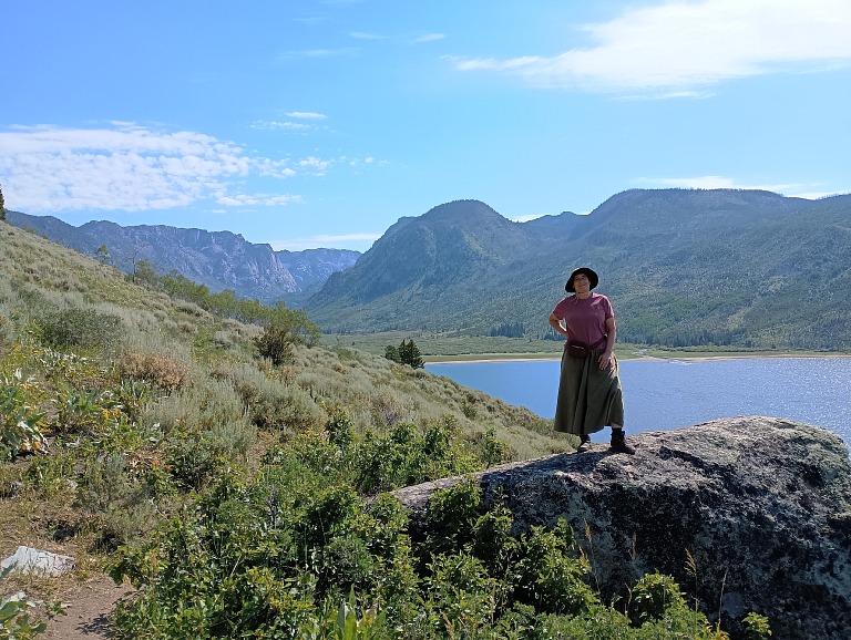
we diverted near Arlington onto a dirt road and stopped in White Rock Canyon.
This feature with an uninspired name sticks out of the landscape like a bleached
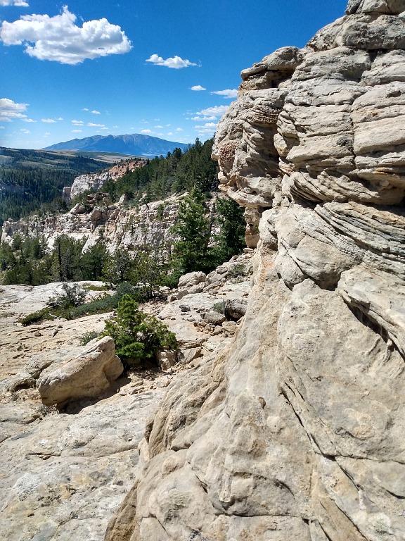
wreck of an old ship. One can walk (that is, scramble) up to its top, from
whence there's a view to nearby mountains. It served us as a stop for stretching
legs. We planned to hike a lot on our vacation trip, and this was an appetizer.
 |
| Elk Mountain was nicely visible. |
We had booked
Best Western in Rock Springs. We've had good experience
with this chain, but this time it was a miss. The historic
Outlaw Inn
had been built in the 60's of the previous century as a modern hotel with
hundred rooms, a recreational facility (a swimming pool) and space for holding
conferences. Around that time, a new interstate highway (I-80) had opened as
a continental connector between New York and San Francisco; four local
businessmen were hoping that their investment of one and half million dollars
would bring a quick return, despite the town of Rock Springs had then only
six thousand inhabitants. Yet the town STRADDLES the I-80, being a crossroads
to tourist destinations — a giant Flaming Gorge Reservoir to the south,
and Highway 191 all the way to Grand Tetons a Yellowstone. After all we, too,
fifty years later, found Rock Springs a natural stop on our travels. So location
of the — for its time grandiose — hotel make sense. Being in
Wyoming, it also makes sense for the swimming pool to be placed INDOORS.
What my head does not compute, are rooms spread around the central pool on two
levels. It makes the impression of being onboard of a large cruise ship —
a thing I would not get on even if they paid me, for I have claustrophobia.
We attempted to switch from our practically underground room, reminiscing of
a crypt (door and window leading to pool atrium UNDERNEATH a courtyard balcony
accessing rooms on the floor above), and get a room on external ground floor,
but were told that those had only single beds. We had to accept the crypt,
because it's impossible to sleep with Hippo on a single bed — he turns
it into a tub, into which I keep rolling all night.
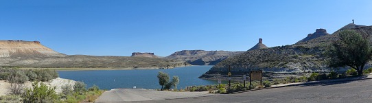 |
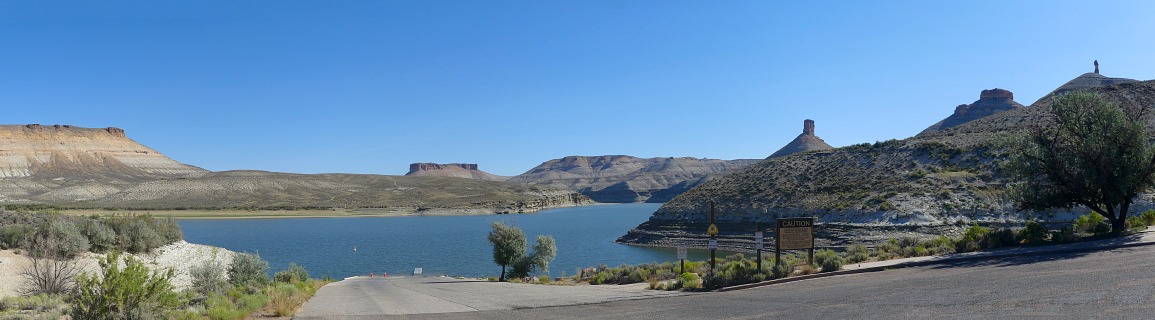
| Flaming Gorge Reservoir, Firehole boat launch and the Chimney Rock. |
Still I am not quite sure how much better off we were with our separate beds.
The feeling of trying to sleep in a bathtub lingered even so — not because
of the shape of my mattress, but because in the crypt, ever vented only to the
pool hall, a muggy wet sting hanged in the air. I had dreams all night about
taking a bath, getting rained on, wallowing in a swamp and so on. When we
finally emerged outside from our breakfast into the hot, DRY, sunny day, it was
quite a shock.
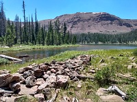 |
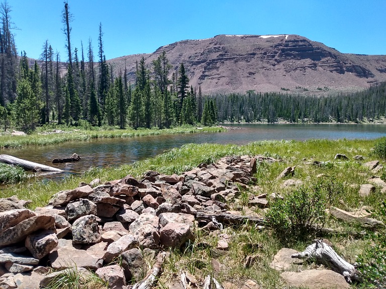
| Walking along a rocky trail, we stumbled all the way to Jessen Lake. |
July 12, 2026: Flaming Gorge • Spirit Lake
Our plan was to check out vicinity of Flaming Gorge. We had passed through there
in the year 2020 on our trip that had convinced us then to move to Wyoming. We
had been enchanted by a loop through geological layers, but had no time to
explore much else. This time we stopped at the dam, where we bought an annual
pass to National Parks, and then we drove to the southern end of the reservoir,
to Spirit Lake. It sounds simple, but it involved covering a lot of miles on
dirt roads, and in the end we were glad to have taken our Ford, which is built
to handle terrain. A Spirit Lake sign sported, besides a Swamp Creature
pictogram (swimming), a symbol with crossed fork and knife — and since the
lunch hour was approaching, we painted ourselves a picture of eating there.
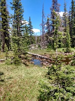 |
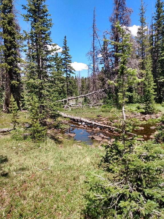
| Rocks did not stop the formation of swampy pools at Tamarack Lake. |
Arriving to the lake, we spotted a cabin with sunshades and people drinking
merrily; Sid rejoiced that it looked good — until I pointed out that the
lodge was to be found elsewhere and this was a private cabin with tourists who
would probably not serve us food. The lodge was locked up and adorned with
a note "will be back later" (without a time reference, so it could have been
there for a week already) and even a look through the window did not seem
promising — a few postcards and tourist fluff, but otherwise nothing to
evoke the image of a restaurant, or even just a bar. Lodge restrooms were locked
as well, and that was unpleasant. Thus we returned to the trailhead parking lot
(which fortunately had an open restroom) and began to gear up for a hike.
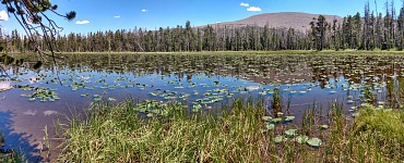 |
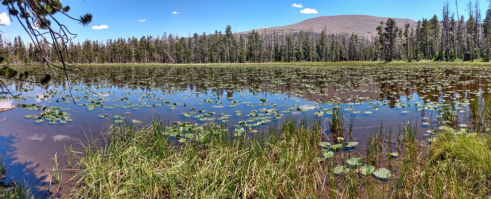
| The Lily Pond, on the other hand, took our breath away. |
On the map we found a trail to Tamarack Lake that could be diverted a bit around
Jessen Lake, so that we would not just go there and back. Despite being located
at ten thousand feet, it was hot here. Much of the way went in the woods,
providing a lot of shade. The path got worse around Jessen Lake, where we had to
jump through a huge ancient scree field, full of sharp rocks. It did not feel
good to my old and arthritic knees. I worried that they'd give out under me and
I fold like a ladder into the moraine. Fortunately as soon as we left Jessen,
the trail entered the woods again and became much more fun. Then we encountered
Lily Pond, and it was the prettiest and most romantic thing.
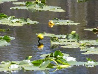 |
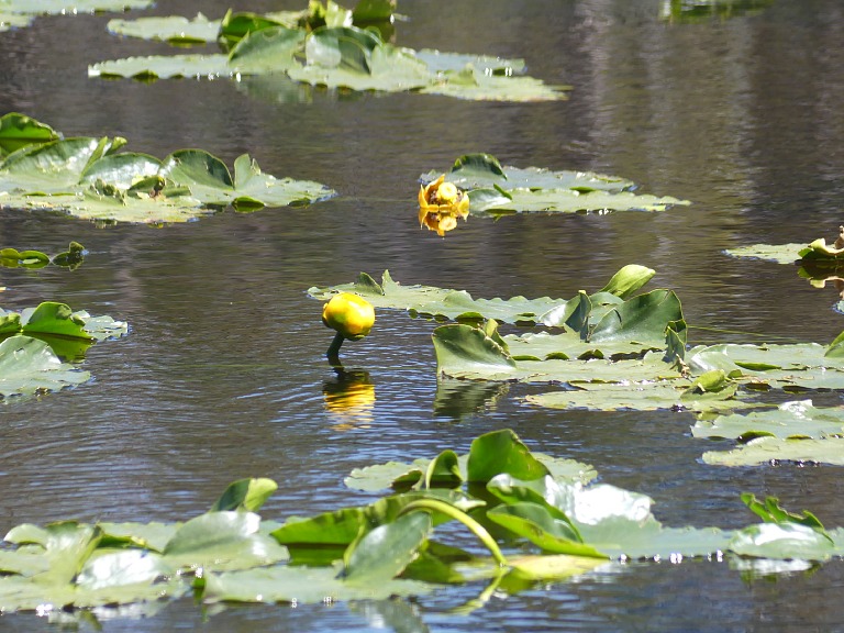
| Water lilies were nicely abloom. |
We did not bother to check the lodge again and instead began to wind back all
those dirt road miles to Highway 44, which we planned to take and drive along
the west side of Flaming Gorge back to the crypt at
Beta Colony (that's
a desert planet from Vorkosigans Saga, where people live underground, as topside
is too hot). To our luck, on our way through Manila we spotted
Flaming Gorge Brew Co.
— a restaurant, where we could eat in daylight and thus postpone our
service of a sentence of imprisonment in a subterranean crypt
return to the hotel.
Our stuffy crypt received a treatment of leaving its door open for the rest of
the evening, to allow airflow at least to the pool. As a consequence, everybody
at the pool could see into our room. And not just see — while I showered,
some geezer walked into our room, quite startled by Sid, who was lying on the
bed and failed to be the dude's buddy. I wondered what to do if the geezer does
not buy Sid's claim that his buddy was not here, and decides to see if the buddy
is hiding in the shower. Fortunately the dude got convinced to have walked into
a wrong room. After all, it all really looked like a public swimming pool
— quite a few rooms had theirs doors open and a sizable number of people
moved through the area, either arriving from outside (ergo, wearing minimal
clothing on account of the heat) or emerging from the pool (wearing swim suits).
In the end it seems that the multi-hour venting had helped and I could sleep
quite well the following night.
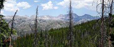 |
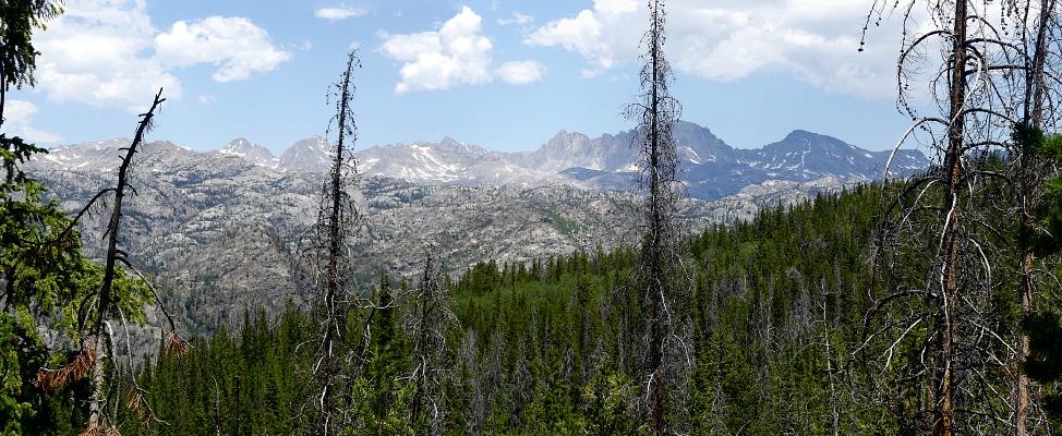
| Only sometimes we were able to see these two and half mile tall giants from our trail. |
July 13, 2026: Pinedale • Fremont Lake • Sacred Rim
Still I did not mind leaving the
Beta Colony and driving out into the
unknown. Unknown for us, that is; Wind River Mountains, familiarly called
Winds, have been relatively inaccessible. Continental Divide Trail, which
is not as famous as the Pacific Crest Trail in Sierra Nevada, goes through them.
Tourists yearning for a notch for every single National Park, all push to
Yellowstone, and Winds are therefore visited mostly by hardcore enthusiasts and
those in the know. And local Wyomese, who want to go to mountains but don't wish
to share them with crowds. A center on the western side of the Winds is
Pinedale. Though it's truly a small town (county seat with population of 2000),
we had a hard time finding a decent hotel for which we at the same time did not
bust our bank account like for a stay in Monte Carlo. Sid booked something
questionable, and so I hoped we would not eventually shed a tear remembering
good old crypt. The hotel turned out cheap/er/ because it changed owners and
was undergoing a gradual remodeling. The owners were nice, and so we did not
mind some chaos. We tried to squeeze them for information what to go see,
because that's usually a good place to start, but they told us that they have
been only short time in Pindale and had no time to check out places.
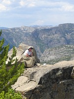 |
| Carol let her goat run freely over a horrible abyss. |
Nevertheless they pointed us out to a viewpoint on Fremont Lake, from where we
then followed a road up into the mountains, until we encountered an information
booth. A volunteer there recommended finishing the remaining little bit of the
road to Elkhart parking lot, and hiking to Sacred Rim. We did not want to do any
long hike, as it was afternoon — and hot. Elkhart is located at the very
end of that road and turns out to be one of the insertion or extraction points
of the Continental Divide Trail. Furthermore, one hikes from there to the famous
Photographer's Point, hence there's considerable activity and many cars —
but also enough room. For a short while, we followed the main trail, or more
appropriately a highway, on which crowds of long range hikers hurried with large
backpacks, but then we jumped over a brook and turned off onto a less frequented
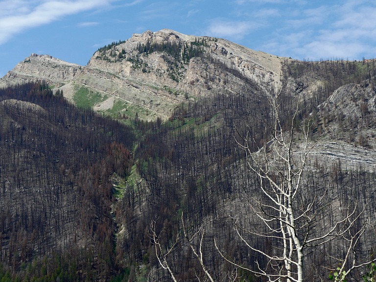
track. Alas, it led through woods, partially burned, and offered no views,
though on our left side we sensed a drop-off with a counter-slope crowned by
tips of grandiose peaks. By then we met fewer people, also fewer backpacks and
expression of performance focus, and that was pleasant. All those going in the
opposite direction assured us that "it is worth it", and we huffed onward. Our
huffing was caused mostly by ambient temperature; marching at "mere" nine
thousand five hundred feet (at Spirit Lake we had been at 10,300 ft above
sea level), we got haunted by hot weather — toward eighty five degrees.
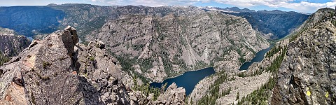 |
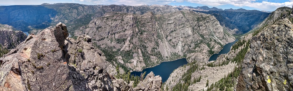
| Left to right Fremont and then two Long Lakes. |
Even we finished scrambling up to a breathtaking viewpoint — moreover, we
were there alone for the whole duration, could take pictures of Long Lake and
the palisades of mountain giants reaching to thirteen thousand feet so many
times that now back at home our heads are spinning over all those photographs.
Walk back to the car went a bit downhill and seemed easier than going there.
The weather was still infernally hot, and overcast moved in and it turned muggy.
We reached the hotel and a shower — and then we hurried to the local
brewery
(
Wind River Brewing Company)
for dinner — and beer. There we started pondering where to turn to on
following days. Going to the Photographer's Point, four and half miles each way,
we reckoned, was out of our reach in this heat. A fellow hiker at Spirit Lake
had recommended Green River Lakes, and thus we started scrutinizing the map.
With a new place it is always a little problematic to imagine how it looks in
reality. The Lower Lake seemed, according to the map, ideal, as it was supposed
to be possible to go around it (trails on both sides); on the remote side
several routes diverge to various waterfalls, Upper Green River Lake, and so on.
A decision was reached to journey there on the next day, despite it all being
located at mere eight thousand feet and high temperatures were (again) to be
expected.
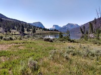 |
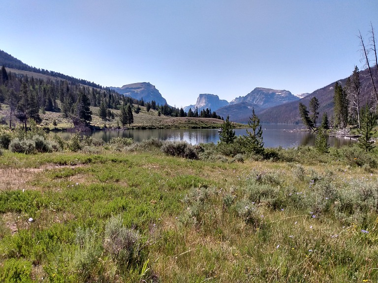
| Lower Green River Lake, Squaretop Mountain in distance. |
July 14, 2026: Lower Green River Lake • Clear Creek
Sid navigated and I drove for many miles to Green River Lakes. Those are in
canyon cut into the northern end of the Winds, and the road there follows the
Green River in a giant bow. Last twenty miles are dirt road. This does not
usually bother us, and we took our Ford, but here we were occasionally worried
about it. The road was partially dust, but mostly rocks — with huge
boulders sticking up, over which one had to go slowly. Some bulldozers and
trucks were loitering at the entrance to it, bringing layers of sand onto the
roadbed, to make it maintainable (plow the top sand layer and you level some
holes and uneven parts — something that is somewhat impossible with
boulders), but we must have come there too early — they were finished with
about the first mile... and so we bumped along on and on.
In this section the Green River flows through a de facto semi-desert, with
sagebrush and ugly bushes, and not even that was enjoyable. Then the river
gradually turned hundred and eighty degrees and an impressive green valley
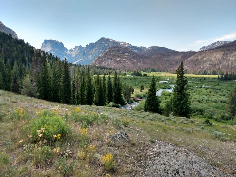
lay in front of us, with Squaretop Mountain. It really looks like a gigantic
cube erected there.
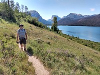 |
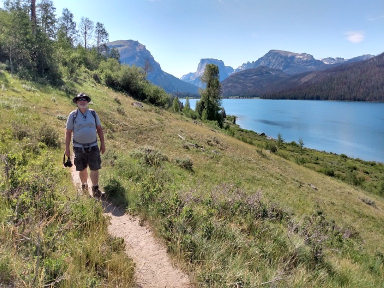
| Even a wimp like Sid can boast to have hiked the Continental Divide Trail. |
It was beautiful, but a local kink ensued in our plans to walk around the Lake
and take advantage of shade on the forested western shore. There were woods, but
burned down. Consequently we were relegated to the eastern shore with scant
shade. I will spare you the description of our huffing and moaning; the only
interesting part was, having somehow crawled the length of the lake, we found
ourselves on a crossroads. We could go back along the other shore, which we
rejected on account of the burn; we could continue on to the Upper Lake —
and we could hike up a slope into a saddle with Clear Creek Falls.
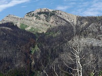 |
| Opposite lakeside was sadly burned. |
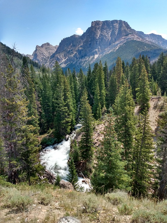
The waterfall mischievously hid in an inaccessible terrain, yet during our
attempts to approach it from upstream we ventured onto a beautiful mountain
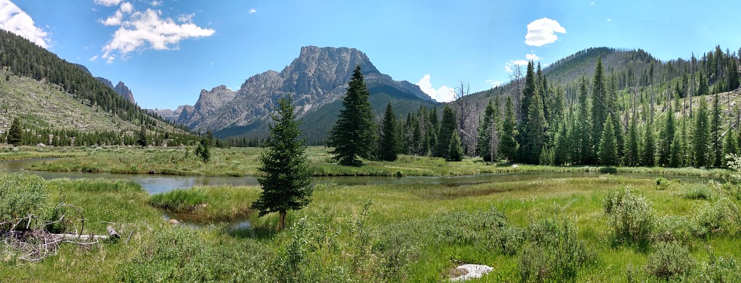
meadow, with a view to more rocks, hills, and peaks. Clear Creek meandered
through the meadow's high, lush, green grass. We found a fallen tree in shade,
unpacked our snacks and declared a break. I did not want to leave that spot at
all, but there still was the hike back through a roasting afternoon air and then
bumpy ride along twenty miles of rocky road. This was perhaps the prettiest spot
in the Winds, and it would probably deserve better exploration in weather more
appropriate to mountains and unlike Sahara, so that one would have the strength
to reach more waterfalls or a natural bridge on the far end of that meadow
(to which we did not manage to get).
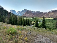 |
| Clear Creek (with a bridge) merges into Green River between the Upper and Lower Lake. |
Going back was truly bad, and I understood why we had seen tourists in their
underwear cajoling in the lake. After the last bridge I at least splashed some
water on me, for I felt like being on the brink of a heart attack or a stroke.
Sid did not splash — which I still can't comprehend. Is it the hippo skin?
Our bumping through the full turn of Big Bend seemed shorter this time —
perhaps once one goes through, it does not appear as bad the second time.
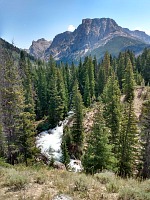 |
| Clear Creek Falls try to hide in an inaccessible bend. |
Sid insisted that we would not eat in the same restaurant twice, and we tried
out a bar named Wrangler. We regretted it bitterly. Yeah, I had received nasty
food before, but this was truly unpalatable. I wanted mashed potatoes instead
of regular fries, and they brought me a soup plate of the mash covered in
a thick gravy. I returned it that I can't eat it; they brought dry mash —
which was inedible just the same, because was obviously "prepared" from some
instant powder, probably from the World War II military surplus, as it smelled
crazy musty. Uh. We generally have great experience with strange local
restaurants, but this was a complete disaster.
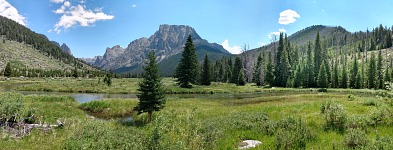 |
| Clear Creek Valley and Flat Top Mountain • 11 695 ft. |
We pored over maps and guides, we even visited a local tourist store and asked
for recommendations, but we encountered a basic problem with Winds — the
mountains are beautiful, but inaccessible indeed — one must drive
somewhere on dirt roads (easily thirty miles) and there march three, six, ten
miles on foot before getting anywhere pretty. That's a problem with an old body
and ninety degrees heat. Finally, we chose New Fork Lake.
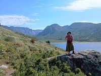 |
| In a steep slope over New Fork Lake, we found this lookout boulder. |
July 15, 2026: New Fork Lake • Half Moon Lake
New Fork Lake was relatively close (compared to Green River Lakes), but also
relatively low, and covered in aspen groves. We reckoned that walking in shady
woods like out of a Russian movie would not be so bad in the end, but we were
not to enjoy it for long — as soon we found ourselves on an unforested,
desert-like lake shore. Besides it being hot, some youth group of about thirty
chaperoned teenagers was there with us, and they were insufficiently hard-core
and independent — hence they dragged on at a pace similar to ours. Thus
we rather proceeded above the lake, where another beautiful alpine meadow
surrounded by mountains awaited us, but I admit that after Clear Creek it all
seemed rather plain. The situation repeated itself, where the map promised
plenty attractions after you crawl across several miles of meadow up into the
mountains. We concluded that it would not trump our experience from the previous
day, and began to return.
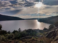 |
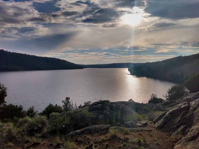
| A contemplative eve at Half Moon Lake. |
So it happens that we were back in Pinedale relatively early, and after getting
civilized we went to the brewery again for refreshments. Still there were a few
daylight hours left, so we drove up to Half Moon Lake. We found pretty rocks
with a view there and scrambled over them for a while, enjoying the evening
light; then we checked out the local lodge. We had already eaten, but there was
beer and I tried their cold vegetable soup; then we found ourselves chatting for
a crazy long time with the local server. It turned out that the lodge also
operates a pack station with horse rides, an information we carefully committed
to memory (and subsequently to this journal, for the case of besides old bodies
we also suffer elderly forgetfulness), because horses would be a great extension
of hiking program, when we journey to the Winds next time.